


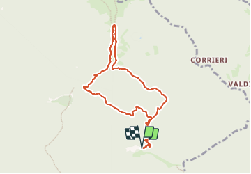

14.8 km | 30 km-effort


User


FREE GPS app for hiking
 SityTrail
IGN / Geographical institutes
SityTrail World
The world is yours!
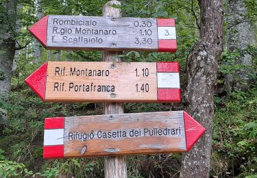
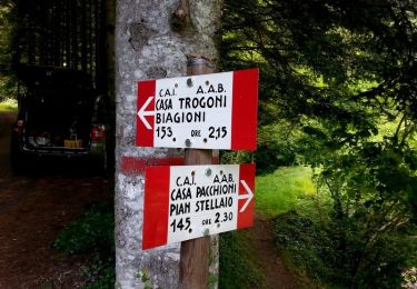
Trail Walking of 9.1 km to be discovered at Tuscany, Pistoia, San Marcello Piteglio. This trail is proposed by Elis Barbieri - Crb.
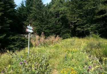
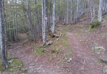
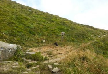
Une rando pour tous, presque toujours en forêt, avec la possibilité de faire l'ascension du Monte Gennaio avant la longue descente en pente douce.


On foot
On foot
On foot
On foot
On foot
On foot
On foot
Walking
On foot